ANALYSIS OF LAND USE CHANGES DUE TO LANDSLIDES IN PANTI DISTRICT USING LANDSAT 8 IMAGERY
Keywords:
Land use, Natural Disasters, Landsat ImageryAbstract
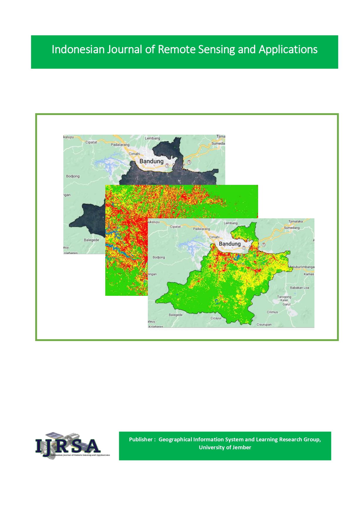
The Panti District area which is located in the highlands often experiences landslides, on the other hand the population growth of the Panti District has also experienced an increase in population. This of course can provide potential land damage, disruption of ecosystem balance, and loss of land cover vegetation. This study aims to determine changes in land use due to landslides in the Panti District. This study uses a quantitative descriptive research method with data collection techniques sourced from secondary data. While the analysis technique uses the supervised maximum likelihood classification method and accuracy test. This accuracy test is carried out to determine the accuracy of the classified image with data in the field. The results of the Landsat 8 imagery accuracy test in Panti District in 2018 and 2022 using Google Earth obtained the same results, namely 86.66% of the 30 sample points. Meanwhile, the classification is determined into 4 classes, namely, forest, sawan, settlements, and gardens. Where from the results of the classification and accuracy test, it was obtained data that land use in the Panti District between 2018 and 2022 there was an almost complete change in land use on all of its land with the use of paddy fields having the most changes, namelyincrease to 8,421 Ha in 2022 which causes degradation and deforestation of forest lands, thus triggering an increase in landslide disasters. Therefore, it is necessary to reduce development near steep slopes and minimize development near areas with less stable slopes, as well as reduce the conversion of forest land to rice fields
Downloads
Published
How to Cite
Issue
Section
License
Copyright (c) 2023 ZUBAIDAH, ANIS WATIN FAIZAH, ANNATASYA PUTRI, DIANTI PRAKASTIWI

This work is licensed under a Creative Commons Attribution-NonCommercial-ShareAlike 4.0 International License.

