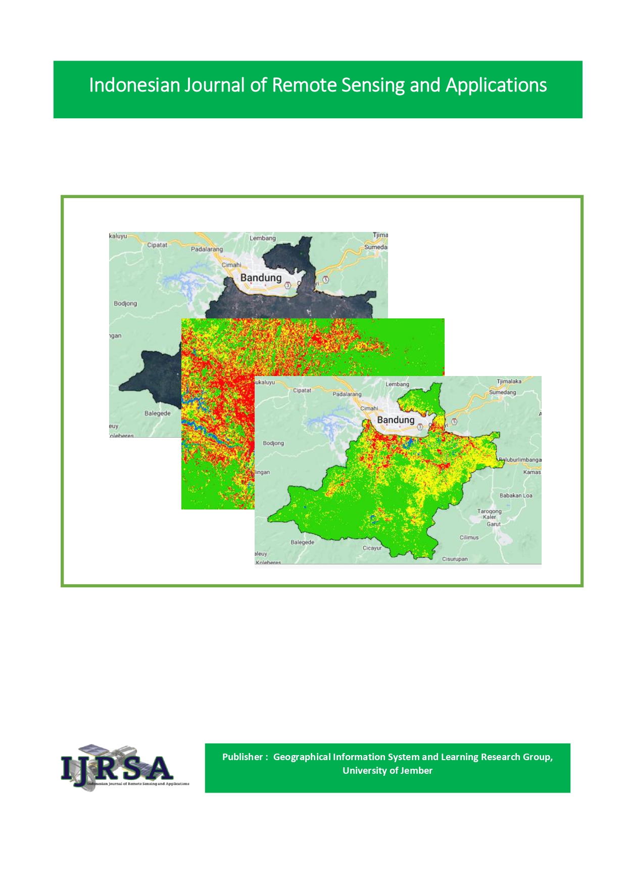
Vegetation Density Change Due to Landslides in Sadu Village, Soreang Subdistrict, Bandung Regency
Vegetation Density Change
Abstract
Landslides that have occurred in Sadu Village, Soreang Subdistric, Bandung Regency, West Java resulted change density of vegetation low on the last 3 years, that is on year 2019-2022. Analysis change land use employ Landsat 8-Oli imagery done for identify wide change land use occurring in the region cases study based on multitemporal data as well as land area data obtained. This research aims for analyze change in vegetation density to change land use in Sadu Village on 2019-2022 seen from extraction image landsat 8-OIL. As for this research using method supervised maximum likelihood classification. Test accuracy image in this study used for look accuracy classified image and field data. The results that is, research Accuracy Test Landsat image classification land use obtain results by 90 % (2019) and 86.6 % (2022) and study related to the results of changes in land use in 2019 and 2022 which showed that there was a change in vegetation to non-vegetation in the form of built-up land of 16 Ha, then the results of changes in vegetation density in the results for 2019 and 2022 show that the density of quite dense vegetation has increased by 78 Ha and the dense vegetation category has decreased by 88 Ha. It shows that exists change use occurring land on three year final form land area forest to agricultural land and built-up land, apart from that there was an avalanche disaster which reduced the denser vegetation area because it was eroded by the avalanche.
Keywords : Landsat Imagery, Land Use, Vegetation Density
Downloads
Published
How to Cite
Issue
Section
License
Copyright (c) 2023 Abhiseka D. Imanjaya

This work is licensed under a Creative Commons Attribution-NonCommercial-ShareAlike 4.0 International License.


