Integration of Normalized Difference Vegetation Index (NDVI) and Soil-Adjusted Vegetation Index (SAVI) to Identify Vegetation Covers on an Oil-Producing Landscape in Kedewan, Bojonegoro Regency
Abstract
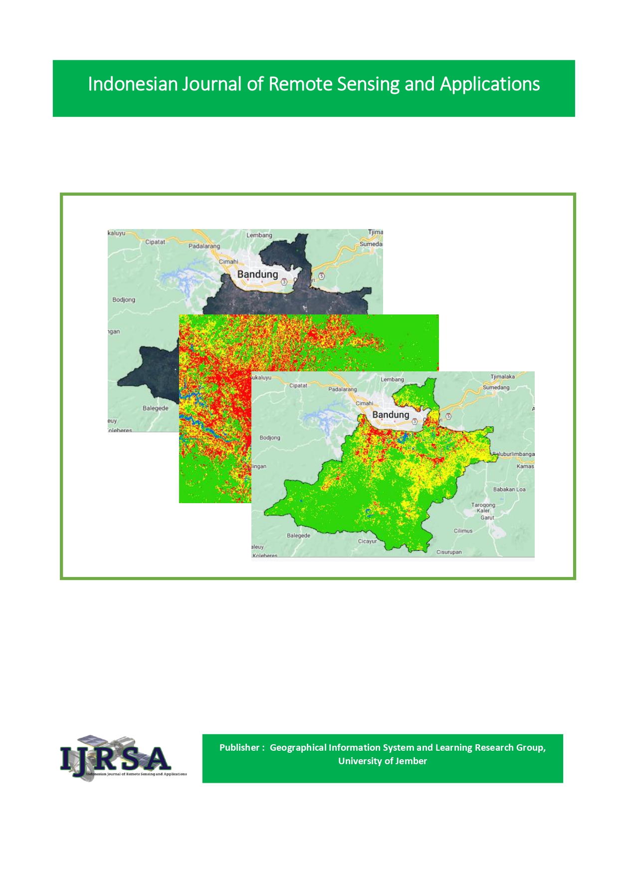
East Java Province is one of the most populous provinces in Indonesia with the second most populous position in Indonesia, the number of regencies and cities in East Java is 28 regions. Meanwhile, Bojonegoro Regency is the tenth most populous area in East Java. Population growth every year, of course, greatly impacts land use in Bojonegoro Regency, including one of its sub-districts, namely the Kadewan Sub-district. The increasing land use that occurs in Kedewan District is not only caused by increasingly dense population growth. However, this is caused by the fact that Kedewan District has an energy source in the form of oil, whose land is used for mining. If mining expands, it cannot be ruled out that vegetation, which is the main source producing oxygen for humans, will decrease. Therefore, it is important to re-analyze the vegetation index in the region. The method used in this study is a quantitative approach located in Kedewan Sub-district, Bojonegoro Regency. Data collection using mothed observation techniques (non-participant observation) and document study techniques. The results of the study showed that NDVI and SAVI calculations had been carried out, and it was found that the overall density conditions in Kedewan District were classified as having a moderate level of vegetation density. Apart from that, from the calculations and analysis that have been done, the SAVI method is superior to using the NDVI method.
References
Ariani, D., Y. Prasetyo, dan B. Sasmito. 2020. Estimasi tingkat produktivitas padi berdasarkan algoritma ndvi, evi dan savi menggunakan citra sentinel-2 multitemporal (studi kasus: kabupaten pekalongan, jawa tengah). Jurnal Geodesi Undip. 9(1):207–216. https://ejournal3.undip.ac.id/index.php/geodesi/article/view/26165
Arimbawa, I. K. 2010. Kajian Berbagai Macam Citra Satelit Terhadap Skala Peta (Planimetris). Geoid. 5(1):055–058.
Asma, N. (2018). Analisa Perubahan Lahan Tambak Menggunakan Metode Maximum Likelihood (Studi Kasus: Kota Banda Aceh). Tugas Akhir Universitas Syiah Kuala. Banda Aceh, 59.
Hidayati, N. 2010. Sistem penginderaan jauh satelit ldcm (landsat-8). Kajian Pemanfaatan Satelit Masa Depan. 11(2):47–58.
Imburi, C. S. 2020. Perbandingan algoritma pada metode klasifikasi supervised berbasis citra alos avnir-2 untuk pemetaan mangrove. Jurnal Kehutanan Papuasia. 6(1):1–9. https://doi.org/10.46703/jurnalpapuasia.Vol6.Iss1.177
Kalinda, I. O. P., B. Sasmito, dan A. Sukmono. 2018. Analisis Pengaruh Koreksi Atmosfer Terhadap Deteksi Land Surface Temperature Menggunakan Citra Landsat 8 Di Kota Semarang. Jurnal Geodesi Undip. 7(3):66–76. https://ejournal3.undip.ac.id/index.php/geodesi/article/view/21217
Kristanto, Y., T. Agustin, dan F. Rizki Muhammad. 2017. Pendugaan Karakteristik Awan Berdasarkan Data Spektral Citra Satelit Resolusi Spasial Menengah Landsat 8 Oli/Tirs (Studi Kasus: Provinsi Dki Jakarta). Jurnal Meteorologi Klimatologi Dan Geofisika. 4(2):42–51. https://jurnal.stmkg.ac.id/index.php/jmkg/article/view/46
Nuraini, N. F., I. W. G. A. Karang, dan I. N. G. Putra. 2022. Estimasi Stok Karbon Di Atas Permukaan Menggunakan Citra Sentinel-1a Di Hutan Mangrove Karang Sewu, Bali. Journal of Marine Research and Technology. 5(1):21. https://doi.org/10.24843/JMRT.2022.v05.i01.p05
Que, V. K. S., S. Y. J. Prasetyo, dan C. Fibriani. 2019. Analisis Perbedaan Indeks Vegetasi Normalized Difference Vegtation Index (Ndvi) Dan Normalized Burn Ratio (Nbr) Kabupaten Pelalawan Menggunakan Citra Satelit Landsat 8. Indonesian Journal OF Computing AND Modeling. 1(1):1–7. https://ejournal.uksw.edu/icm/article/view/2534
Purnia, D. S., & Alawiyah, T. (2020). Metode Penelitian: Strategi Menyusun Tugas Akhir. Yogyakarta: Graha Ilmu.
Saputra, J., M. Kamal, dan P. Wicaksono. 2018. Pengaruh Resolusi Spasial Citra Terhadap Hasil Pemetaan Kandungan Hara Nitrogen Perkebunan Karet. Jurnal Penelitian Karet. (July):13–24. https://doi.org/10.22302/ppk.jpk.v36i1.545
Simarmata, N., K. Wikantika, T. A. Tarigan, M. Aldyansyah, R. K. Tohir, A. Fauziah, dan Y. Purnama. 2021. Analisis transformasi indeks ndvi, ndwi dan savi untuk identifikasi kerapatan vegetasi mangrove menggunakan citra sentinel di pesisir timur provinsi lampung. JURNAL GEOGRAFI Geografi Dan Pengajarannya. 19(2):69–79. https://doi.org/10.26740/jggp.v19n2.p69-79
Sinaga, S. H., A. Suprayogi, dan Haniah. 2018. Analisis ketersediaan ruang terbuka hijau dengan metode normalized difference vegetation index dan soil adjusted vegetation index menggunakan citra satelit sentinel-2a (studi kasus : kabupaten demak). Jurnal Geodesi Undip. 7(1):202–211. https://ejournal3.undip.ac.id/index.php/geodesi/article/view/19329
Widiyatmoko, W., S. Sudibyakto, dan E. Nurjani. 2018. Analisis Kerentanan Tanaman Terhadap Ancaman Kekeringan Pertanian Menggunakan Pendekatan Multi-Temporal Di Das Progo Hulu. Geomedia: Majalah Ilmiah Dan Informasi Kegeografian. 15(2). https://doi.org/10.21831/gm.v15i2.19553
Wijaya, S. F. A., K. Koredianto, dan S. Saidah. 2022. Analisis Perbandingan K-Nearest Neighbor Dan Support Vector Machine Pada Klasifikasi Jenis Sapi Dengan Metode Gray Level Coocurrence Matrix. Jurnal Ilmu Komputer Dan Informatika. 2(2):93–102. https://doi.org/10.54082/jiki.27
Wulansari, H. (2017). Uji Akurasi Klasifikasi Penggunaan Lahan Dengan Menggunakan Metode Defuzzifikasi Maximum Likelihood Berbasis Citra Alos Avnir-2. BHUMI: Jurnal Agraria Dan Pertanahan, 3(1), 98-110. https://doi.org/10.31292/jb.v3i1.233
Downloads
Published
How to Cite
Issue
Section
License
Copyright (c) 2023 Saffina Eka Rahma Wati

This work is licensed under a Creative Commons Attribution-NonCommercial-ShareAlike 4.0 International License.

