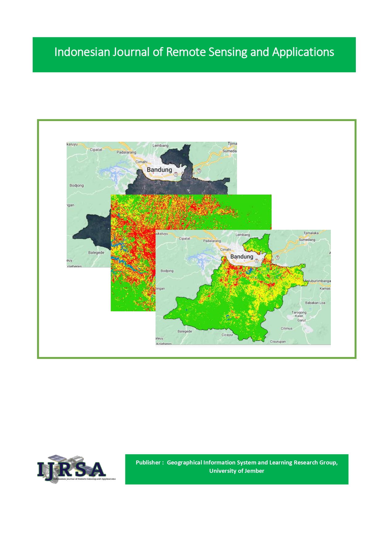
Analysis of Differences In Vegetation Development In 2009 and 2022 In Semboro Sub-District, Jember Regency
Abstract
One type of spatial information that can be extracted based on remote sensing satellite data is land cover information. This information is created and used for various types of purposes, so that many different versions are found according to the intended use. This study aims to identify the vegetation density index in the Sukokulon rubber plantation area in 2009 and 2022. This research was conducted using a descriptive approach in which the researcher explained the results of field identification. Data analysis techniques were carried out by means of descriptive analysis by describing the situation based on observations made and secondary data on Landsat 7 and Landsat 9 images to determine differences in vegetation density, as well as by analysis through literature studies. Vegetation density in 2009–2022, shows an increase in the value of vegetation density in the Semboro District area, but in the northern region it is still with high vegetation density.
Downloads
Published
How to Cite
Issue
Section
License
Copyright (c) 2023 Agum Taufan

This work is licensed under a Creative Commons Attribution-NonCommercial-ShareAlike 4.0 International License.


